A little closer
to the wild.
From the Pacific shore to the peaks of the Rockies. Explore 79 places across British Columbia, one photograph at a time.
Pacific time
The whole province, on one map.
Pick a photograph. Follow a region. See where it takes you.
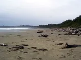 Long Beach, Tofino
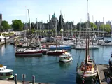 Victoria Inner Harbour
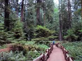 Cathedral Grove
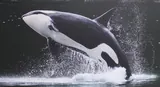 Telegraph Cove
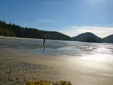 San Josef Bay, Cape Scott
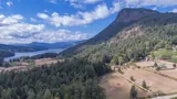 Salt Spring Island
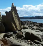 Hornby Island
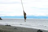 Mystic Beach, Juan de Fuca
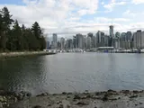 Stanley Park seawall
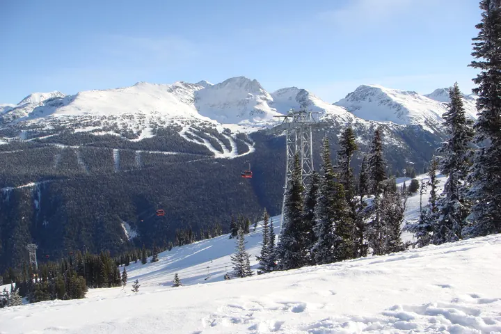
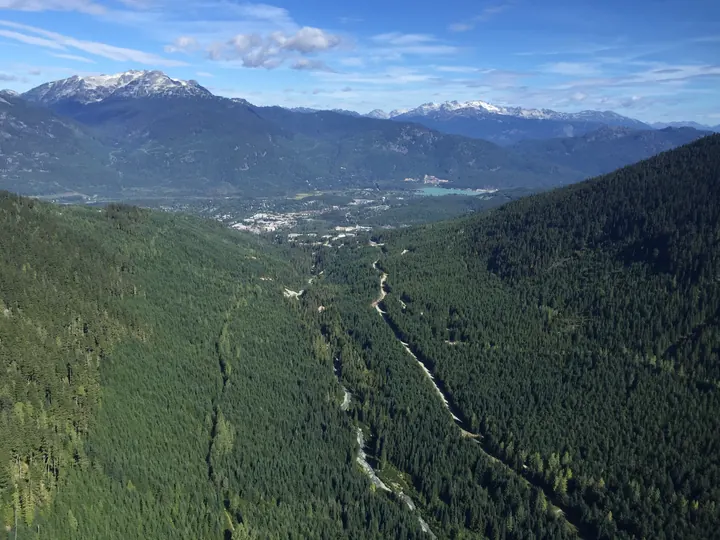
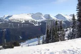 Whistler
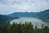 Squamish and the Chief
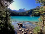 Joffre Lakes
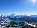 Garibaldi Lake
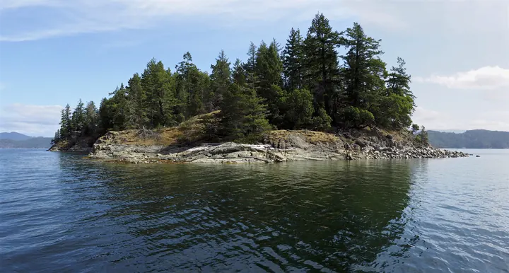
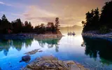 Desolation Sound
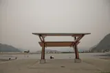 Harrison Hot Springs
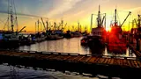 Steveston
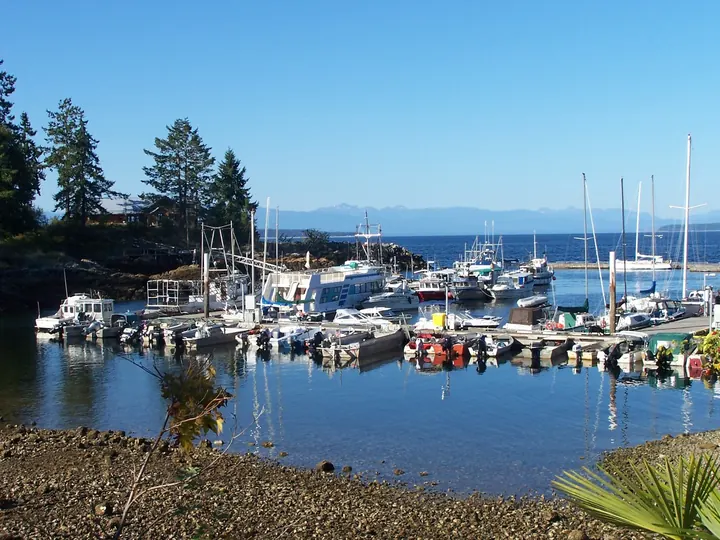
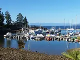 Lund
Lund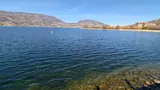 Kelowna and Okanagan Lake
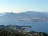 Naramata Bench
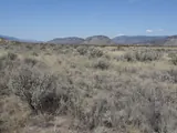 Osoyoos
 Kamloops
 Helmcken Falls, Wells Gray
 Shuswap Lake
 Sun Peaks
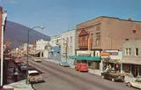 Nelson
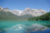 Emerald Lake, Yoho
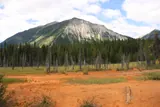 Paint Pots, Kootenay National Park
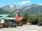 Fernie
 Revelstoke
 Golden
 Kaslo and the SS Moyie
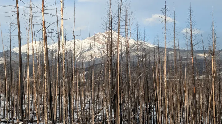
 Rogers Pass
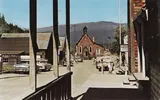 Barkerville
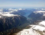 Bella Coola
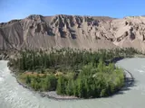 Farwell Canyon
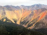 Rainbow Range, Tweedsmuir
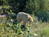 Great Bear Rainforest
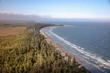 Haida Gwaii
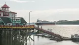 Prince Rupert
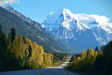 Mount Robson
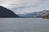 Muncho Lake
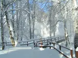 Liard River Hot Springs
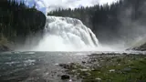 Kinuseo Falls, Tumbler Ridge
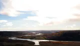 Peace River country
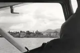 Atlin
Atlin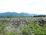 Nisga'a lava beds
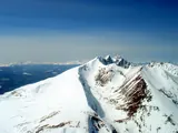 Smithers
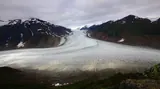 Salmon Glacier, Stewart
 Prince George
 Myra Canyon
 The Bugaboos
 Bowron Lake circuit
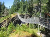 Elk Falls, Campbell River
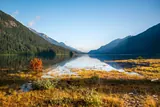 Buttle Lake, Strathcona
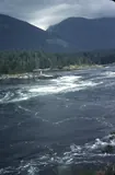 Skookumchuck Narrows
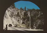 Fraser Canyon
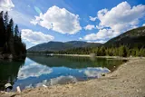 Manning Park
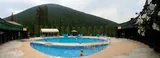 Nakusp Hot Springs
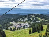 Silver Star
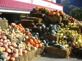 Keremeos fruit stands
 Mount Edziza
 Wild Pacific Trail, Ucluelet
 Gibsons
 Chilko Lake
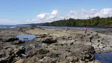 Botanical Beach
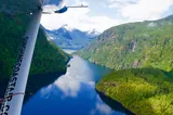 Princess Louisa Inlet
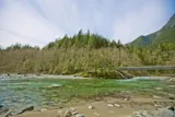 Golden Ears
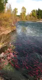 Adams River
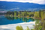 Kalamalka Lake
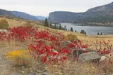 Vaseux Lake
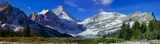 Mount Assiniboine
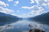 Valhalla Park
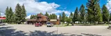 Fort Steele
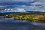 Nimpo Lake
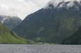 Ocean Falls
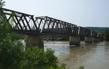 Quesnel
 'Ksan, Hazelton
 SGang Gwaay
 Tatshenshini-Alsek
- Area
- 944,735 km²
- Coastline
- 25,725 km
- Tourism regions
- 6
- Places here
- 79
- Widest point
- 1,200 km
- Highest peak
- 4,671 m
Somewhere you haven’t been.
Coastal trails, mountain towns, and roads worth taking. Browse by region, or search for a place you have in mind.
79 places
No places found. Try another name or region.
Vancouver Island
12 places460 km long. Rainforest on the west, the capital at the south tip, orcas up the east side.
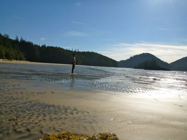
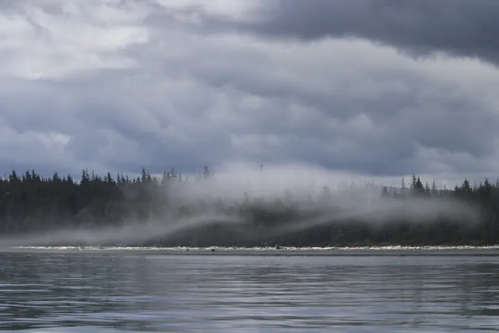
San Josef Bay, Cape Scott
At the island's north tip, sea stacks on a beach you reach after a 2.5 km walk through Cape Scott Provincial Park.
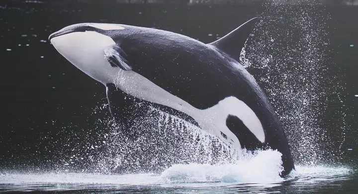
Telegraph Cove
A boardwalk village on Johnstone Strait, where northern resident orcas pass Robson Bight every summer.
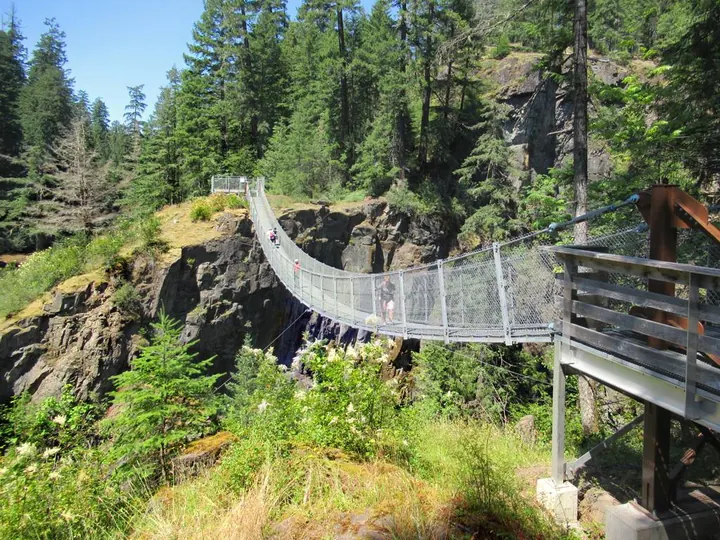
Elk Falls, Campbell River
A 64-metre suspension bridge hangs 60 m above the canyon, facing the falls.
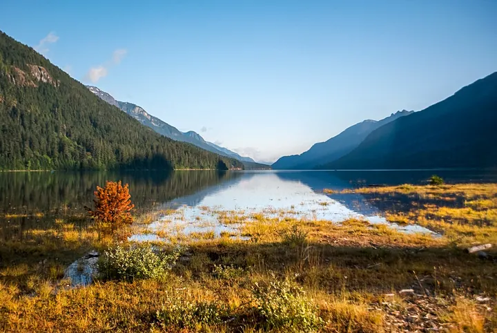
Buttle Lake, Strathcona
BC's oldest provincial park, from 1911. Buttle Lake runs down its middle; Della Falls is a two-day walk in.
Hornby Island
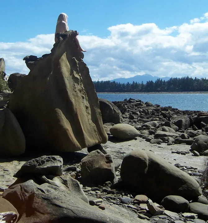
Two ferries from Vancouver Island. Sandstone shaped by the sea at Helliwell, white sand at Tribune Bay.
Cathedral Grove
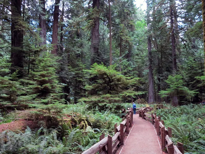
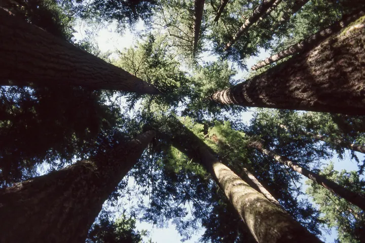
Douglas firs up to 800 years old and 75 metres tall, a short walk from Highway 4 in MacMillan Provincial Park.
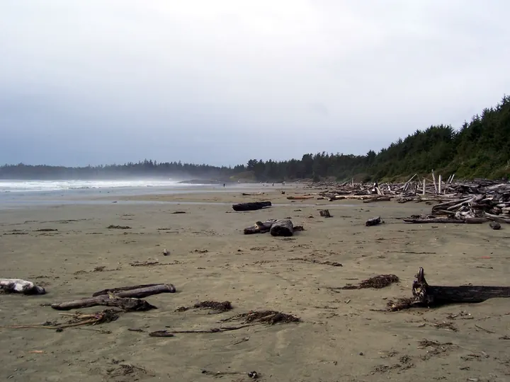
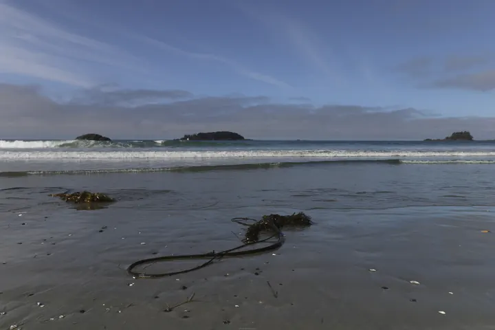
Long Beach, Tofino
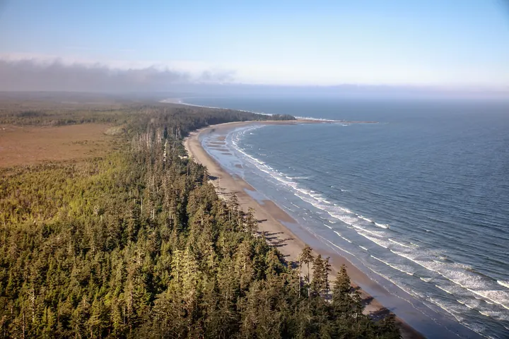
Sixteen kilometres of open Pacific sand in Pacific Rim National Park Reserve. Surf all year, storms to watch in winter.
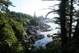
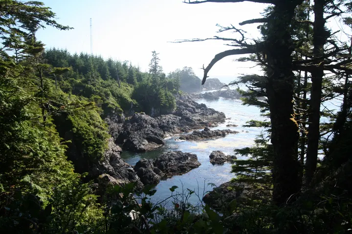
Wild Pacific Trail, Ucluelet
The trail runs the headland past the lighthouse, close enough to the open ocean to get wet in a storm.
Salt Spring Island
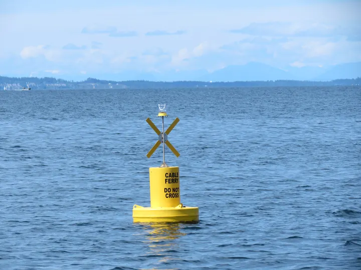
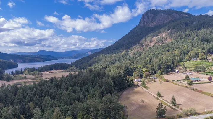
The largest of the Gulf Islands: the Saturday market in Ganges, farms, and views like this from Mount Maxwell over Burgoyne Bay.
Botanical Beach
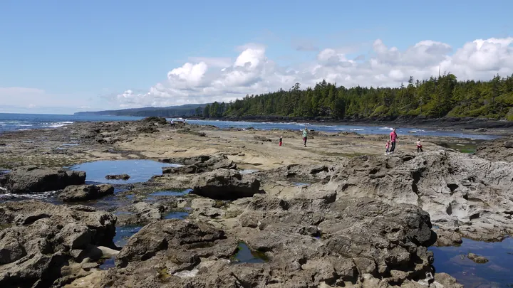
Sandstone shelves at Port Renfrew that empty at low tide into pools of urchins, anemones and gooseneck barnacles.
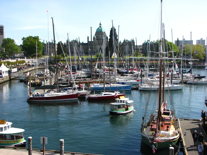
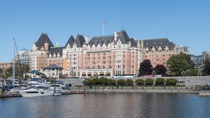
Victoria Inner Harbour
The capital's front porch: float planes landing beside the Legislature, water taxis, the Empress on the corner.
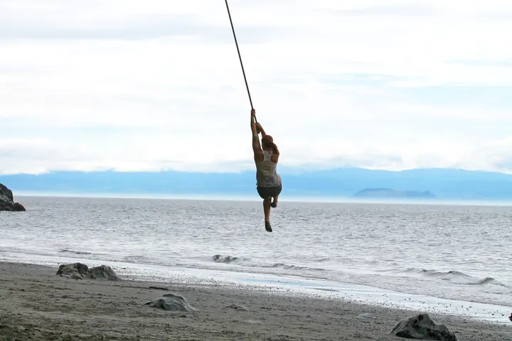
Mystic Beach, Juan de Fuca
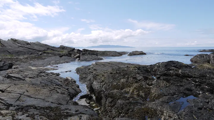
A 2 km walk from the east end of the Juan de Fuca Trail near Sooke: a waterfall onto the sand and a rope swing.
Vancouver, Coast & Mountains
15 placesThe city, the Sea to Sky, the Sunshine Coast and the Fraser Valley. Most of the people, and the fjords behind them.
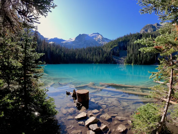
Joffre Lakes
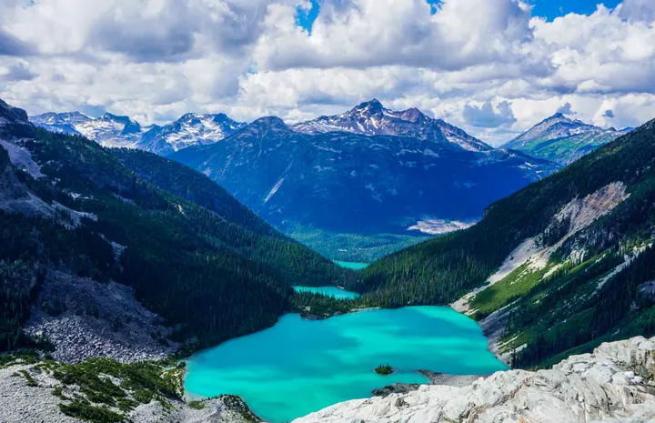
Three glacier-fed lakes, each bluer than the last, on a 10 km round trip off the Duffey Lake Road.
Princess Louisa Inlet
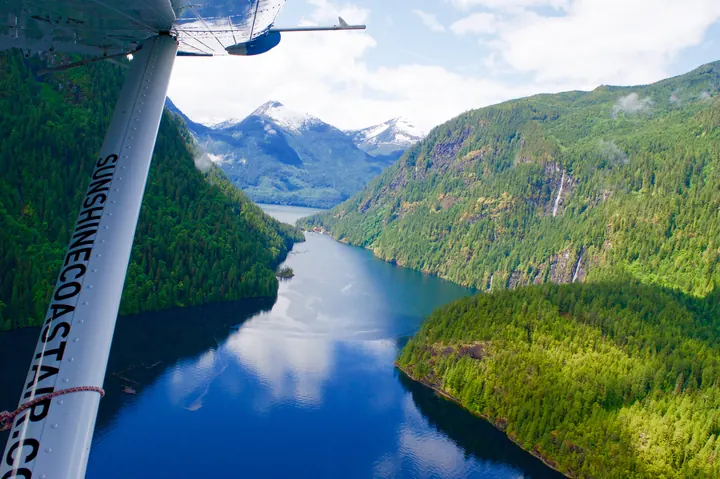
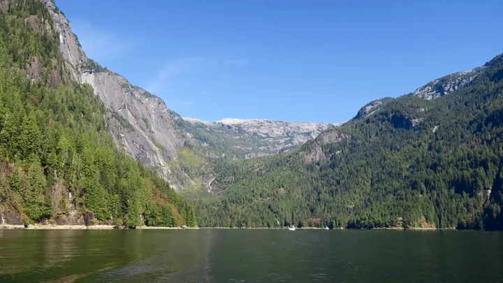
A granite-walled inlet at the head of Jervis Inlet, reachable only by boat or floatplane, with Chatterbox Falls at its end.
Desolation Sound
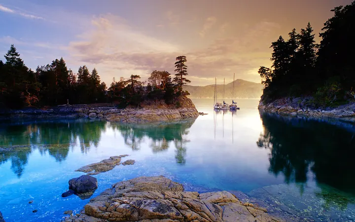
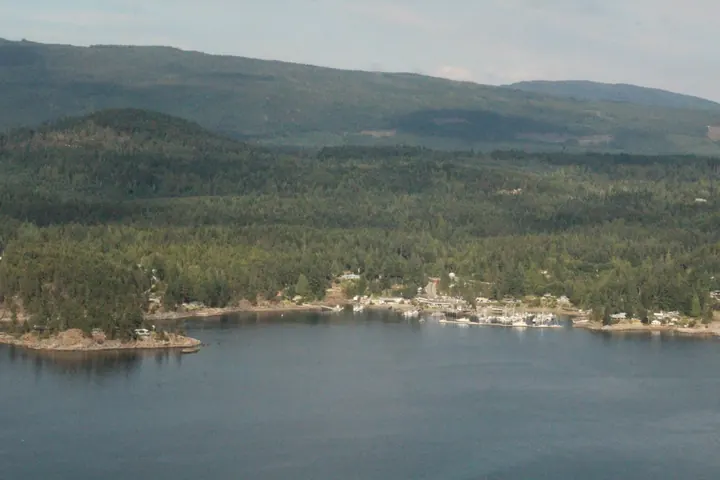
Warm water for this coast, no road in, and BC's largest marine park. Kayak in from Lund or Okeover.
Whistler
Two mountains, one village, and the largest ski area in North America.
Lund
Where Highway 101 ends: a harbour, a bakery, and the water taxi to Savary Island.
Garibaldi Lake
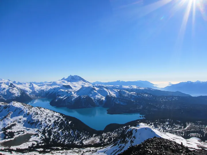
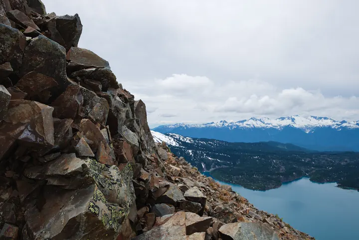
A 9 km climb from the highway to a turquoise lake under the Black Tusk, in Garibaldi Provincial Park.
Fraser Canyon
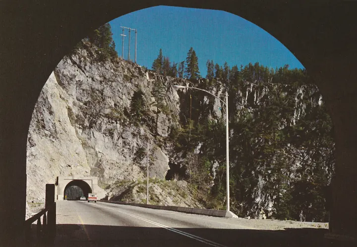
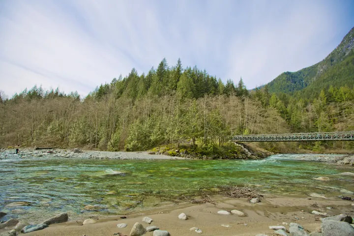
The river squeezes to 33 metres wide at Hell's Gate and runs deep and fast. The road and two railways share the walls.
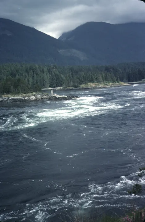
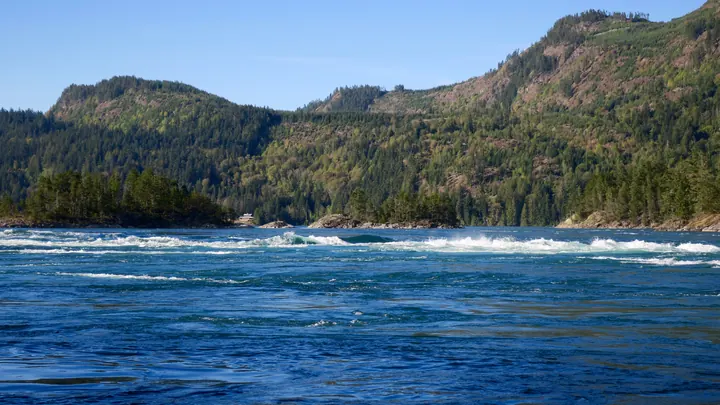
Skookumchuck Narrows
On a big tide Sechelt Inlet pours through a gap a hundred metres wide, raising standing waves that kayakers surf.
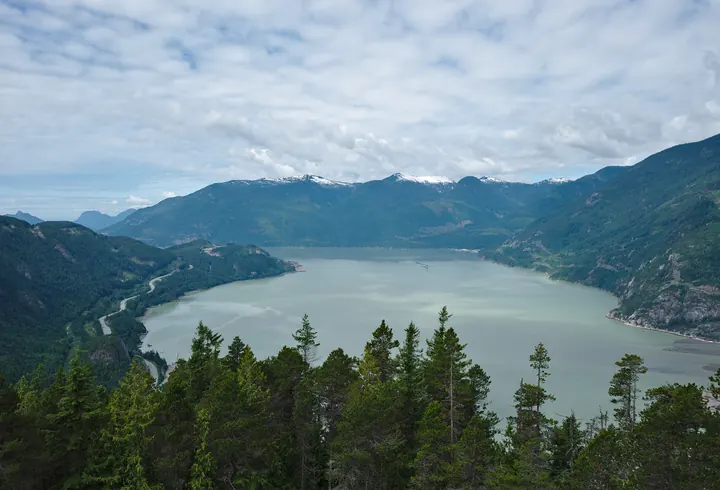
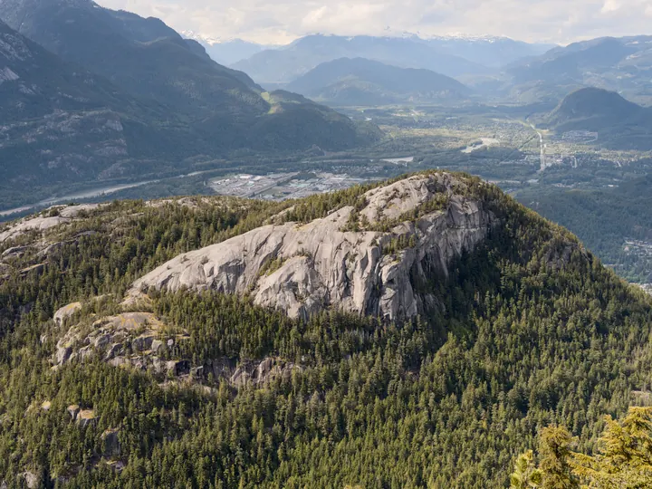
Squamish and the Chief
Howe Sound from the top of the Stawamus Chief, a 700-metre granite wall you can walk up the back of in a few hours.
Golden Ears
Second-growth forest and glacier-fed pools an hour from Vancouver, under the twin summits the park is named for.
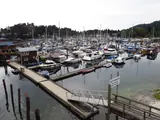
Gibsons
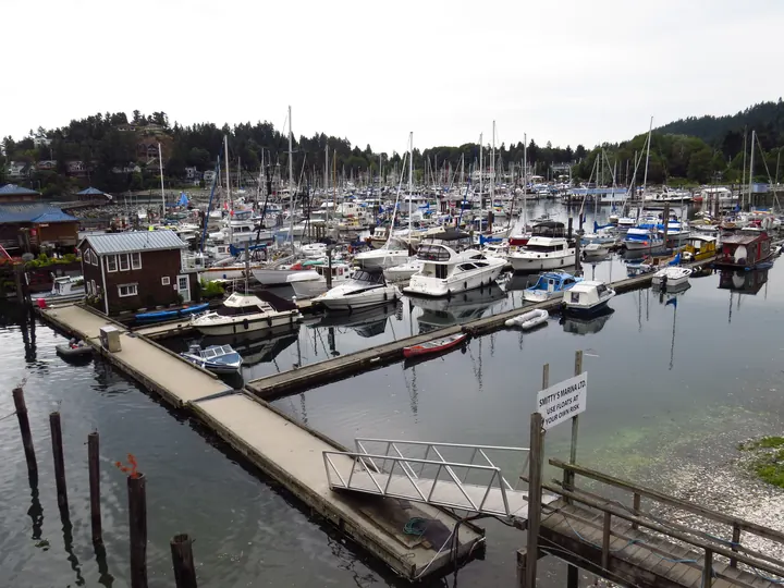
First stop on the Sunshine Coast, forty minutes by ferry from Horseshoe Bay. The harbour is still a working one.
Stanley Park seawall
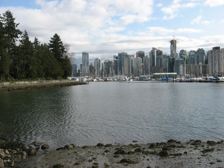
Nine kilometres of seawall around a 400-hectare forest at the end of downtown Vancouver.
Harrison Hot Springs
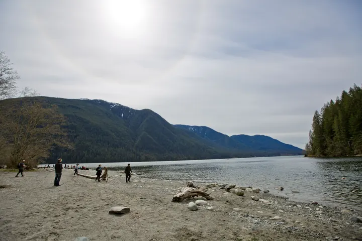
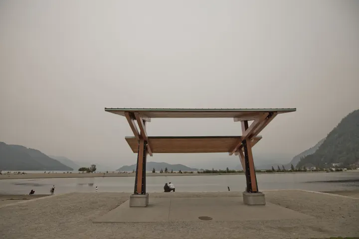
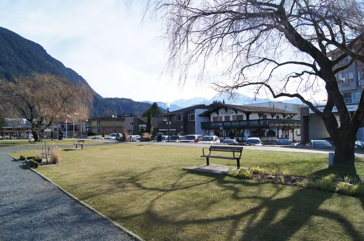
A lake 60 km long with a hot-spring village at its south end, 90 minutes from Vancouver.
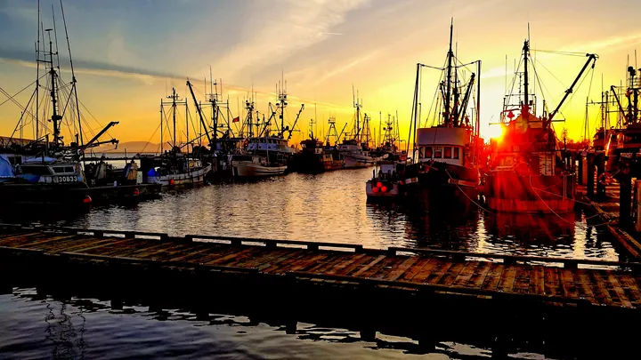
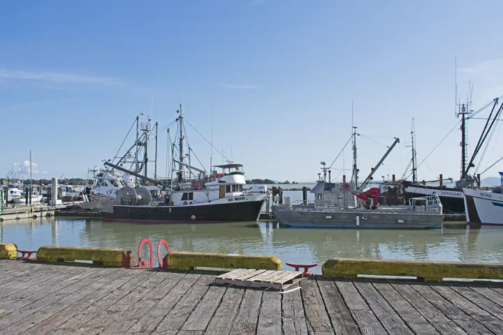
Steveston
The fishing harbour at the mouth of the Fraser. Boats sell the catch off the dock; the cannery is a museum now.
Manning Park
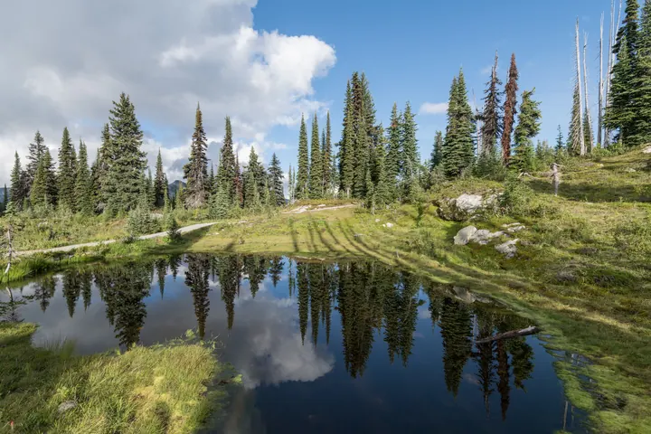
Where the Cascades cross the border: subalpine meadows that flower in July, and the north end of the Pacific Crest Trail.
Thompson Okanagan
14 placesDry hills, long lakes, vineyards and a desert. The warm interior.
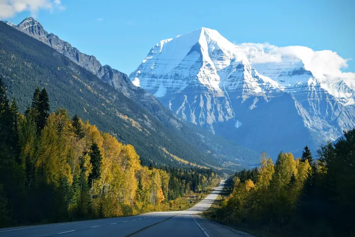
Mount Robson
The highest peak in the Canadian Rockies, 3,954 m, in full view from the highway. The Berg Lake trail starts at its foot.
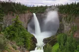
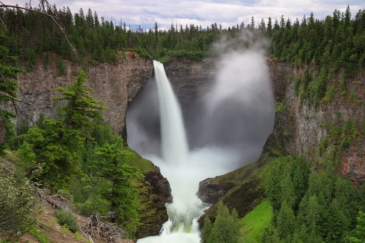
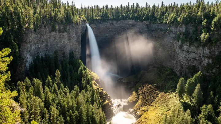
Helmcken Falls, Wells Gray
Helmcken Falls drops 141 metres into its own canyon. Wells Gray has 39 named waterfalls and few crowds.
Adams River
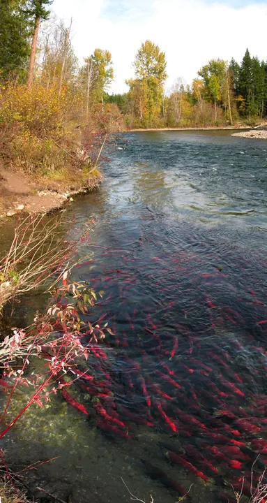
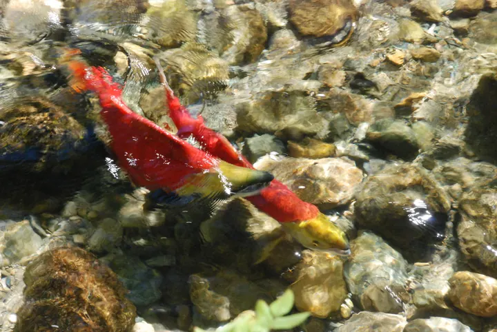
Every four years the sockeye return in the millions and turn the river red between Shuswap and Adams Lake.
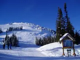
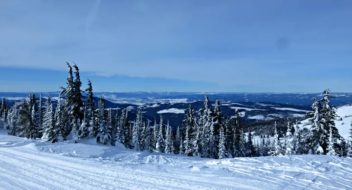
Sun Peaks
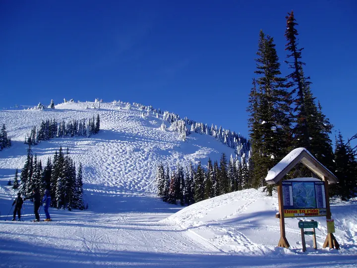
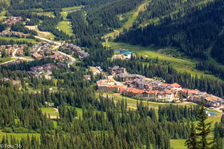
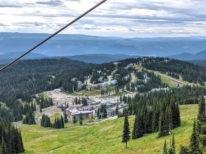
Canada's second-largest ski area, 45 minutes from Kamloops, with a village you ski through.
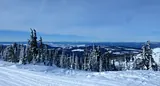
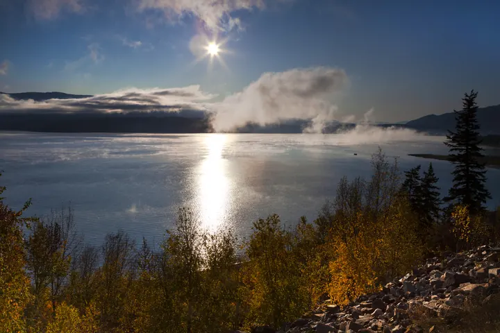
Shuswap Lake
A lake shaped like an H with 1,000 km of shoreline. Sicamous calls itself the houseboat capital of Canada.
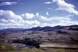
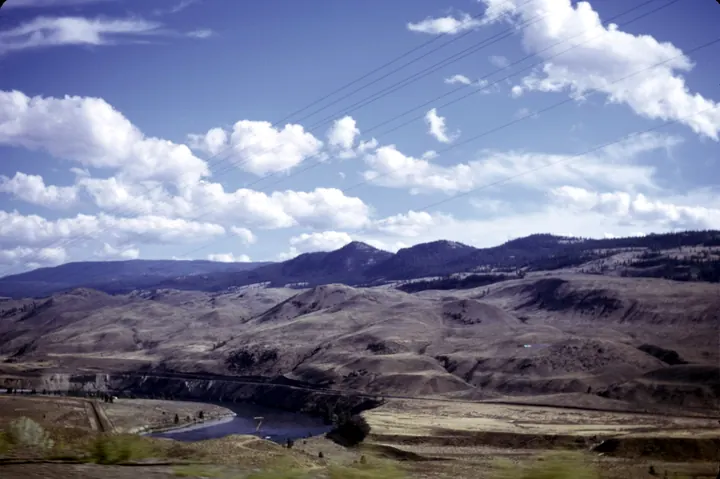
Kamloops
Grassland hills where the North and South Thompson meet. Dry, open, and nothing like the coast.
Silver Star
A ski hill above Vernon with a village painted like a gold-rush town, and lift-served riding all summer.
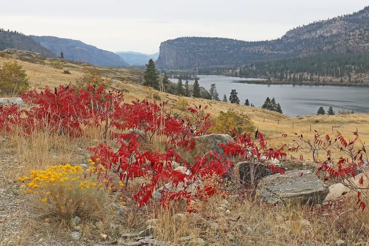
Kalamalka Lake
The lake that changes colour through the summer as marl settles out of the water, south of Vernon.
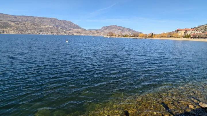
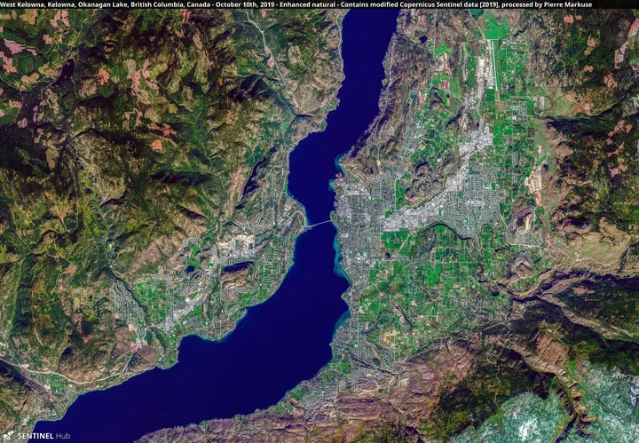
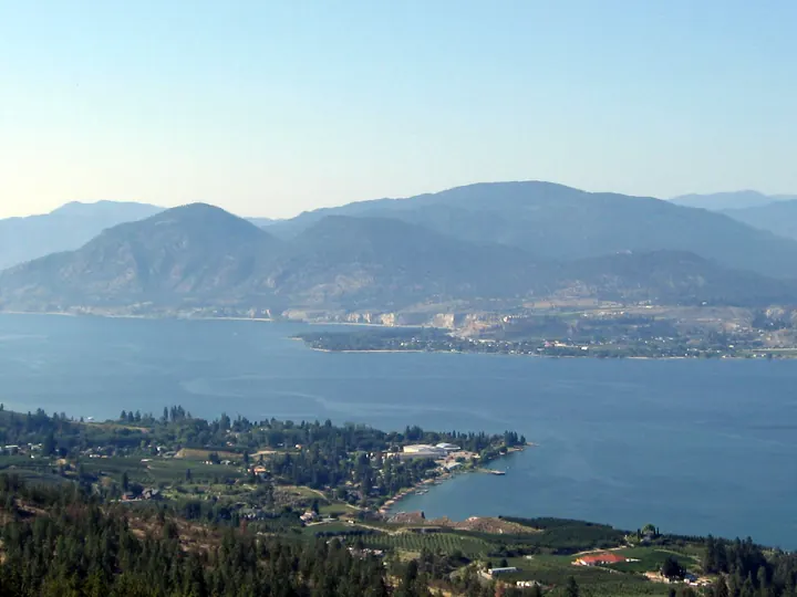
Kelowna and Okanagan Lake
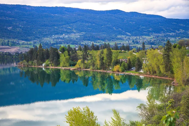
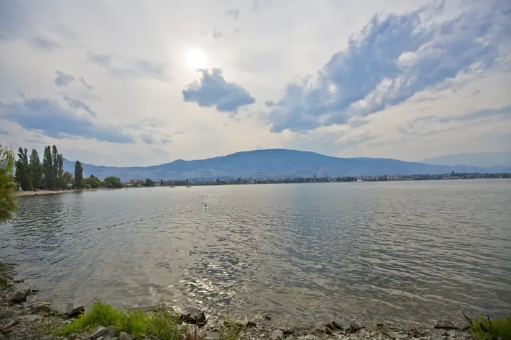
Vineyards, orchards and a 135 km lake in the middle of the Okanagan. The Interior's biggest city.
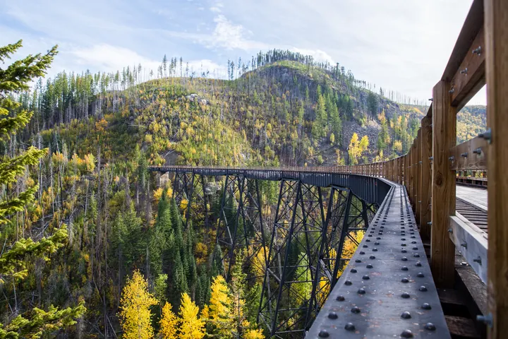
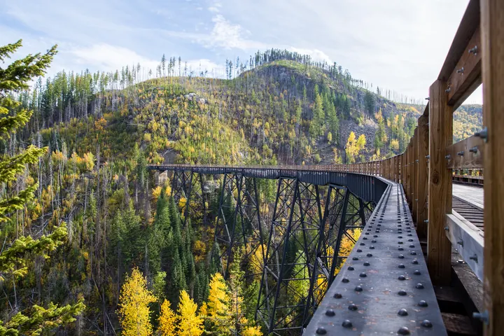
Myra Canyon
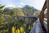
Eighteen timber trestles and two tunnels on the old Kettle Valley rail grade, 900 m above Kelowna. Rebuilt after the 2003 fire.
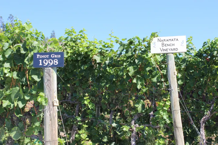
Naramata Bench
A bench of vineyards above Okanagan Lake, joined up by the old Kettle Valley rail grade you can cycle.
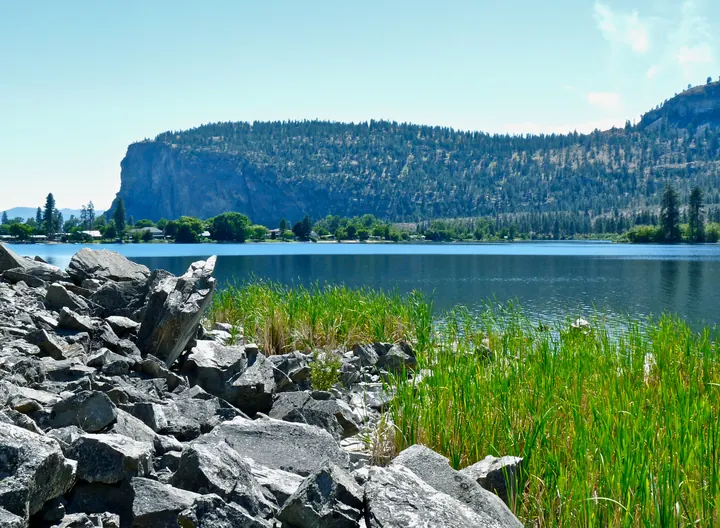
Vaseux Lake
A shallow lake under the Okanagan's cliffs, a bird sanctuary where California bighorn come down to drink.
Keremeos fruit stands
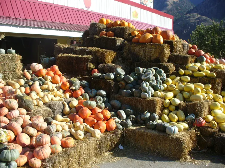
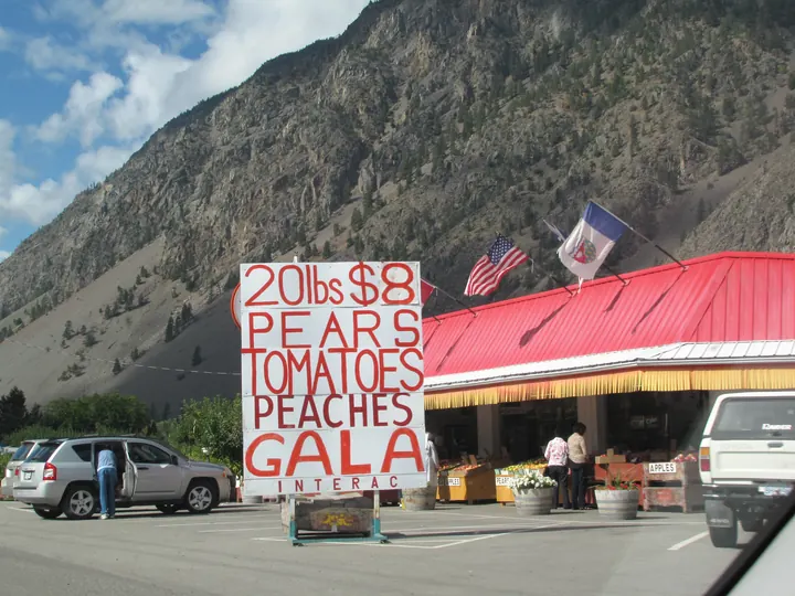
Two dozen stands along Highway 3 through the Similkameen, open from the first cherries to the last squash.
Osoyoos
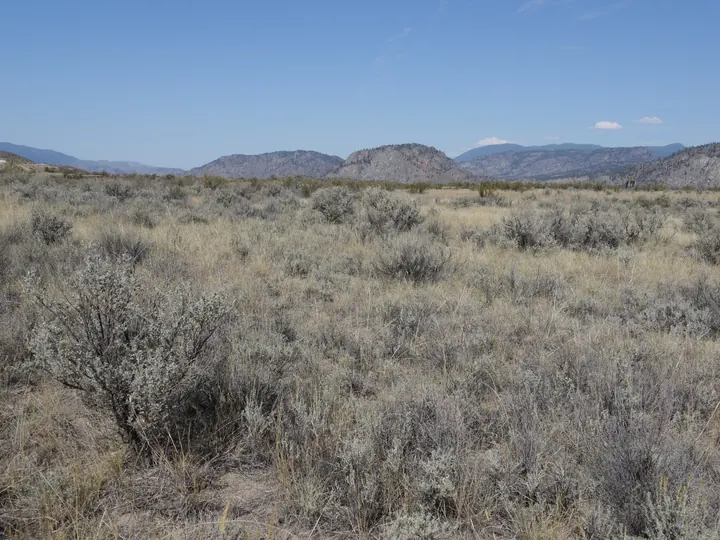
Canada's only desert town: sagebrush, antelope brush, and the warmest lake in the country.
Kootenay Rockies
13 placesFour national parks, the Columbia, a sternwheeler and ski towns along the Alberta border.
Emerald Lake, Yoho
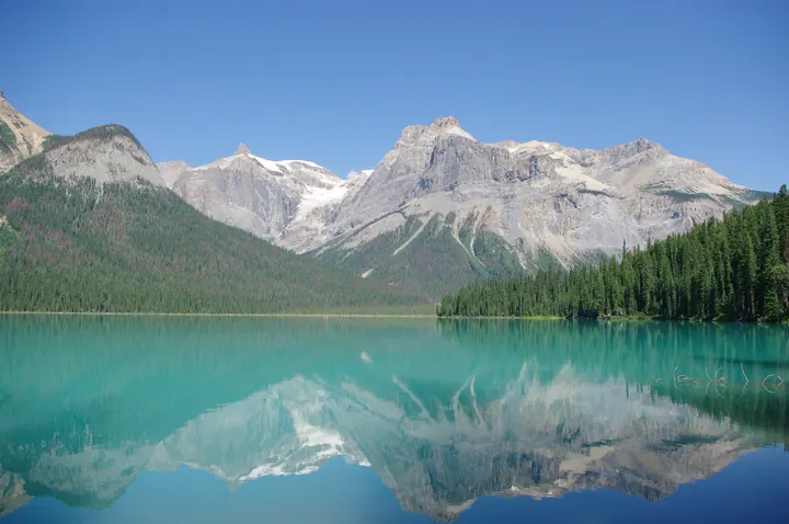
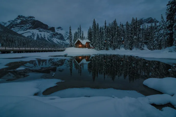
The colour is glacial rock flour, the canoes are red, and the trail around the lake is 5 km.
Golden
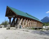
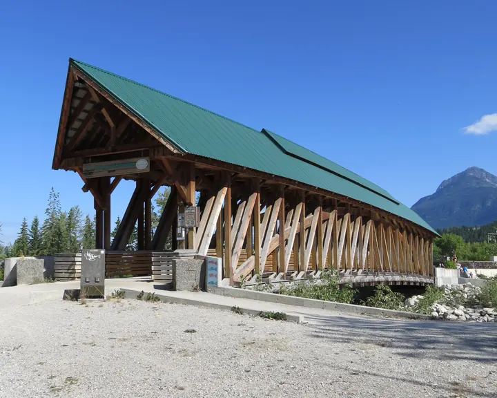
The Kicking Horse runs through town under a timber-frame pedestrian bridge, the longest of its kind in Canada.
Rogers Pass
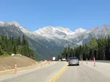
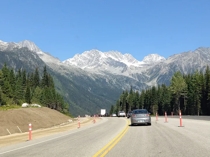
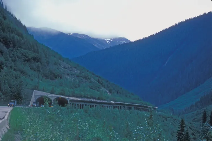
The Trans-Canada climbs to 1,330 m through Glacier National Park. Snowsheds and avalanche control keep it open all winter.
Paint Pots, Kootenay National Park
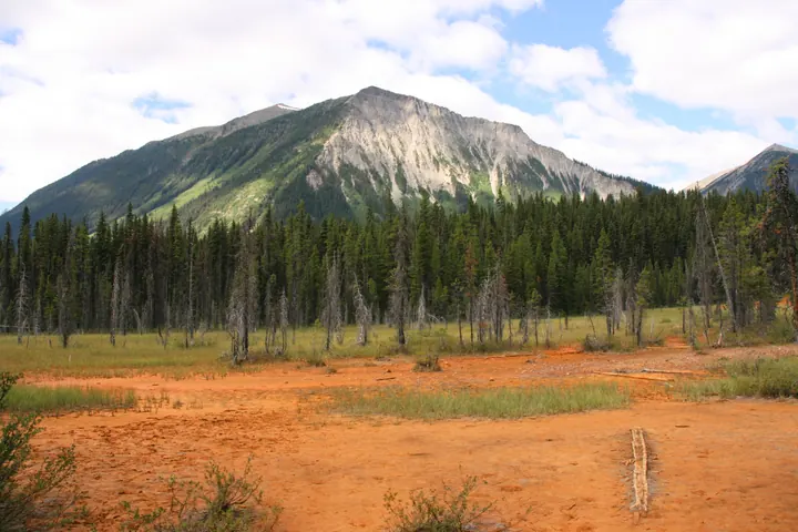
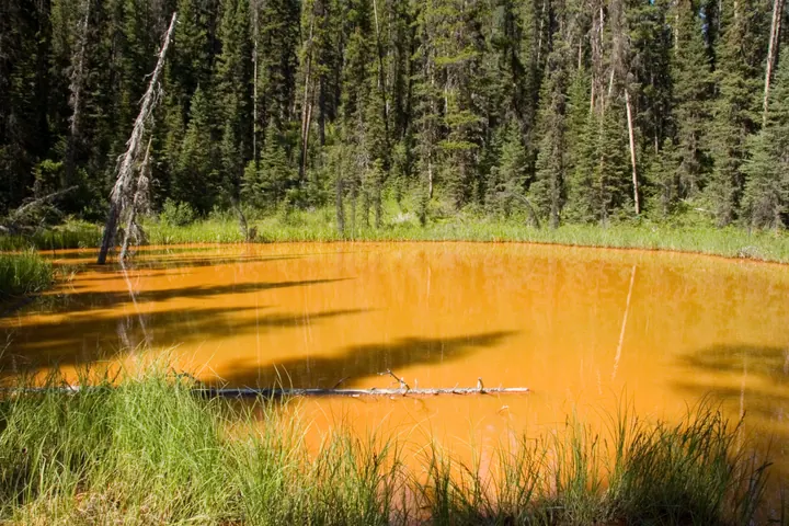
Ochre beds the Ktunaxa collected for pigment, on a short trail off Highway 93.
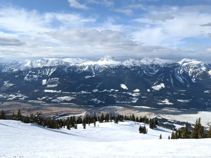
Revelstoke
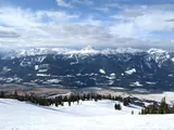
The Columbia valley from Mount Revelstoke, whose parkway climbs from town to alpine meadows.
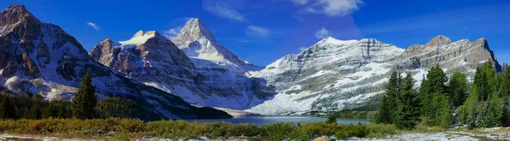
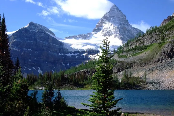
Mount Assiniboine
The Matterhorn of the Rockies, seen across Lake Magog on the BC side of the divide. Reached on foot or by helicopter, never by road.

Laurel FCC BY-SA 2.0 Please attribute as: "Wikipedia / Tobias Klenze" (user page link optional). Remember that you must also mention the license (and link to it). So for example, if this picture is licensed under CC-BY-SA 4.0, the following is correct: Image: Wikipedia / Tobias Klenze / CC-BY-SA 4.0. The license must be a link!CC BY-SA 4.0 The Bugaboos
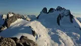
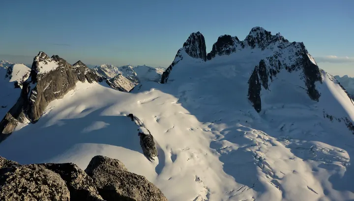
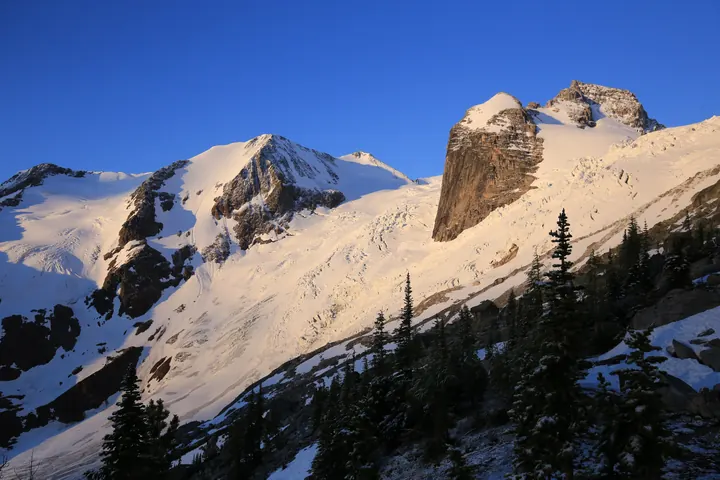
Granite spires that pull climbers from everywhere. The Conrad Kain Hut sits under them at 2,230 m.
Nakusp Hot Springs
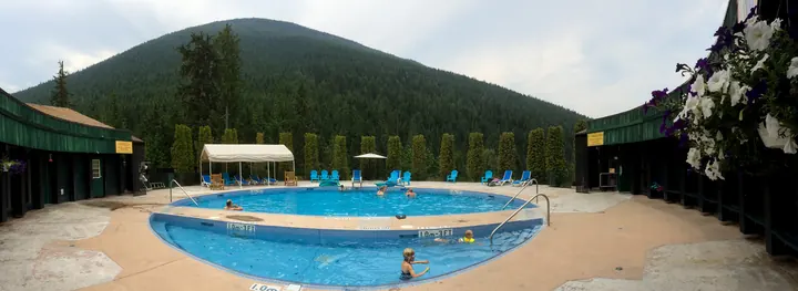
Two pools fed from a creek in the Selkirks, twelve kilometres up a road from a village on the Arrow Lakes.
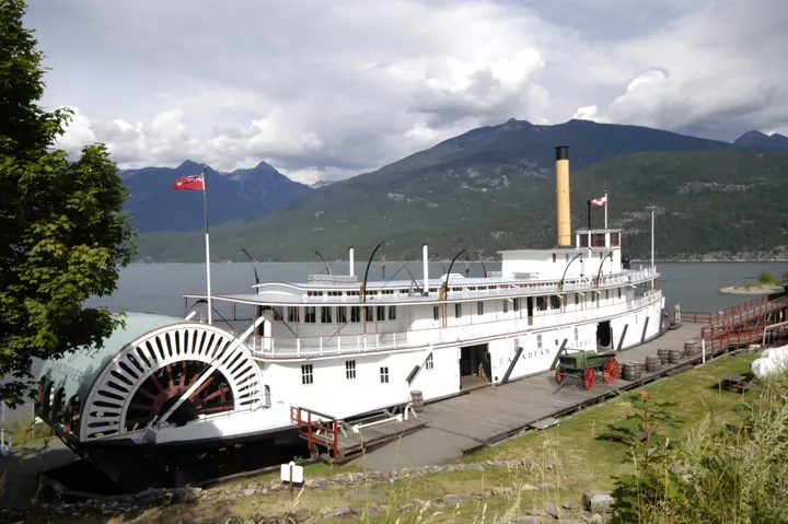
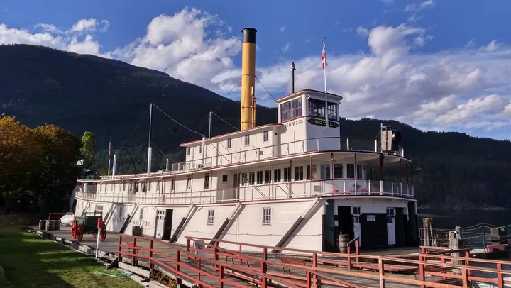
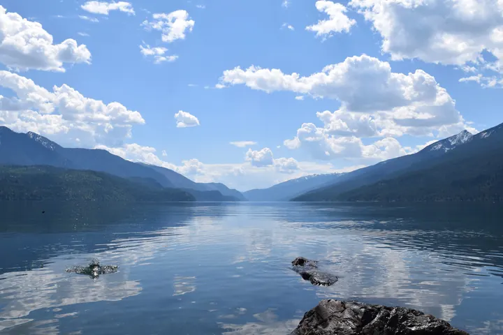
Kaslo and the SS Moyie
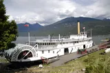
An 1898 sternwheeler beached on Kootenay Lake, the oldest intact passenger sternwheeler in the world.
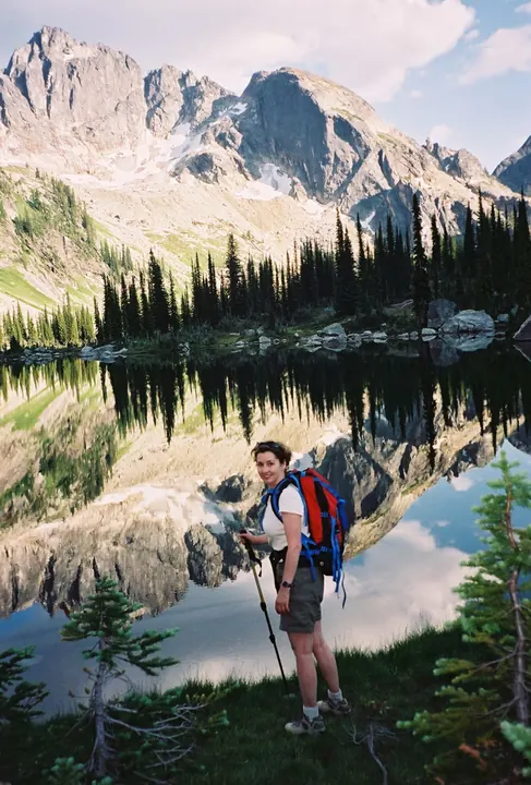
Valhalla Park
Granite walls rising straight out of the west shore of Slocan Lake, in a park with no road into it.
Fort Steele
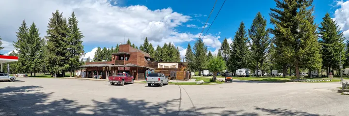
An 1860s gold-rush town above the Kootenay River, kept as it stood rather than rebuilt.
Fernie
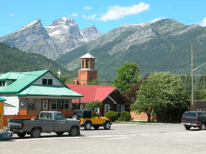
A coal town turned ski town in the Elk Valley, with the Lizard Range at the end of every street.
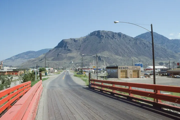
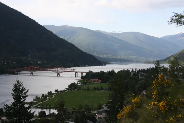
Nelson
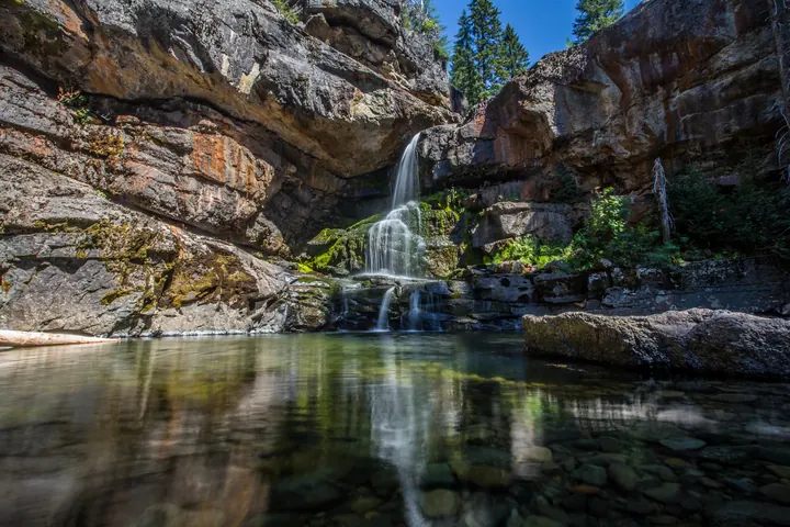
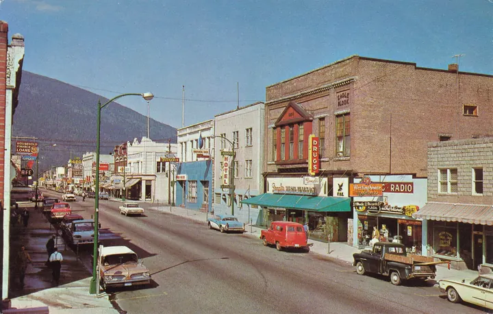
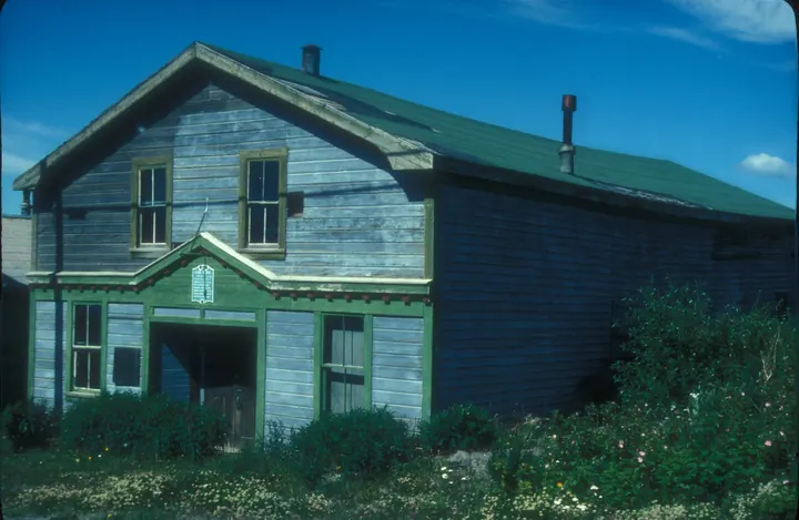
A 1965 postcard of Baker Street. The heritage brick is still there, and so is the mountain behind it.
Cariboo Chilcotin Coast
9 placesGold-rush country, the Chilcotin plateau and the fjords at Bella Coola. Big and mostly empty.
Bowron Lake circuit
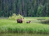
A 116 km canoe circuit that closes on itself: six lakes, the rivers between them, and about a week of paddling.
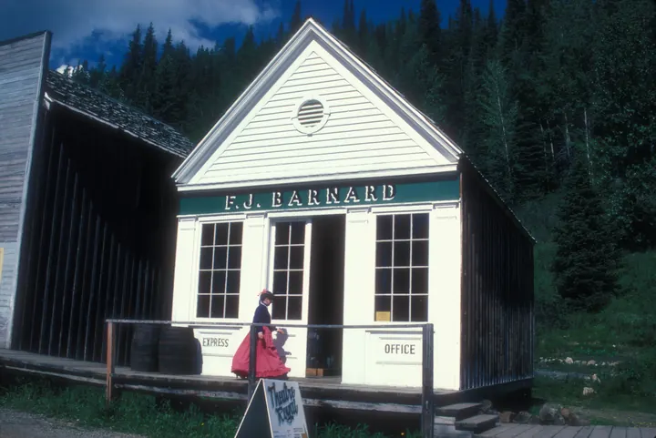
Barkerville
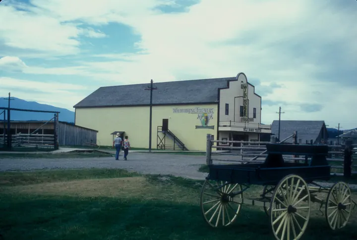
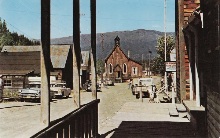
A gold-rush town from 1862, kept with more than 100 buildings, on a 1958 postcard.
Quesnel
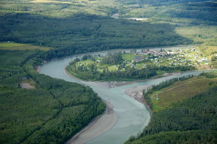
Where the Quesnel meets the Fraser, the river junction that fed the Cariboo gold rush.
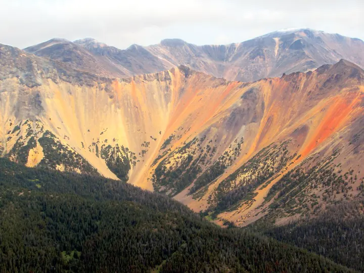
Rainbow Range, Tweedsmuir
Volcanic peaks in red, yellow and purple, in the largest provincial park in BC.
Bella Coola
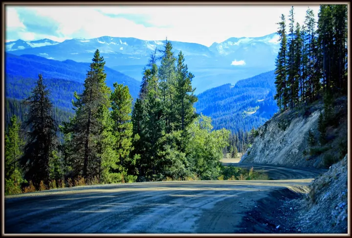
A fjord valley at the end of Highway 20, which drops 1,500 metres off the plateau on gravel grades of 18 percent.
Ocean Falls
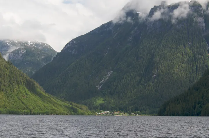
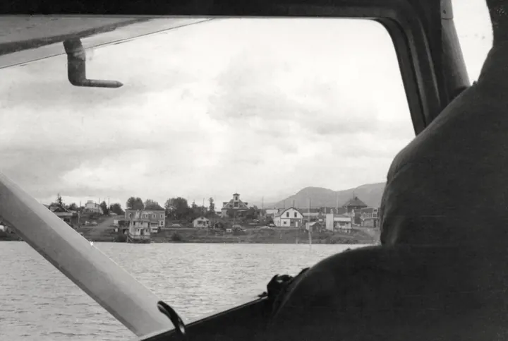
A company town on Cousins Inlet left to the rain when the mill closed. A few dozen people still live under the dam.
Nimpo Lake
Floatplane country on the Chilcotin plateau, the last lake before Highway 20 drops to Bella Coola.
Farwell Canyon
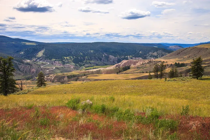
The Chilcotin River cuts through hoodoos and a sand dune here, crossed by a single-lane bridge.
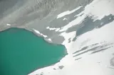
Chilko Lake
Turquoise with rock flour and 1,170 m up, one of the highest large lakes on the continent, in Ts'yl-os Provincial Park.
Northern British Columbia
16 placesHalf the province. Haida Gwaii, the Alaska Highway, the Peace and Mount Robson.
Atlin
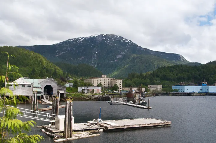
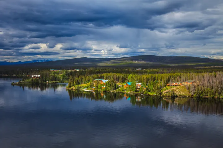
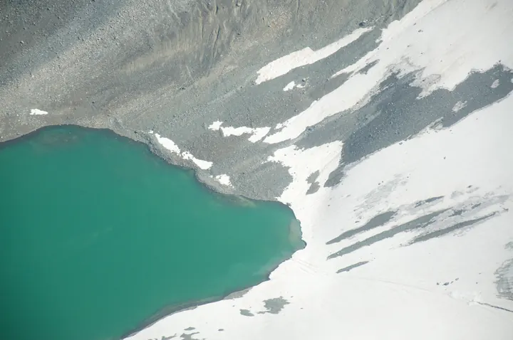
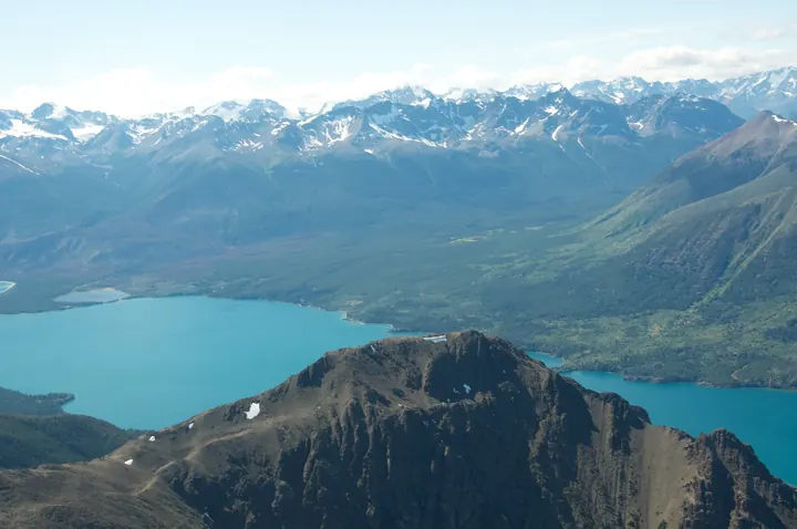
BC's most north-westerly town, on a lake 137 km long, reached by road only through the Yukon.
Tatshenshini-Alsek
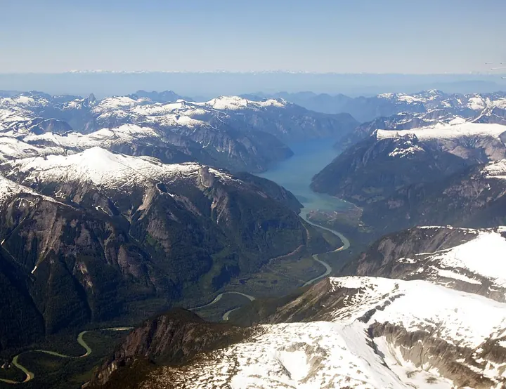
The province's far northwest corner, a wilderness of braided glacial rivers running to the Gulf of Alaska.
Liard River Hot Springs
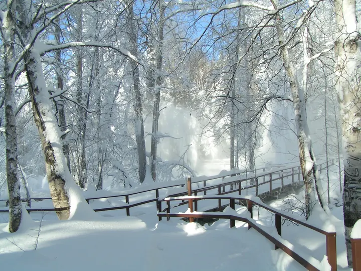
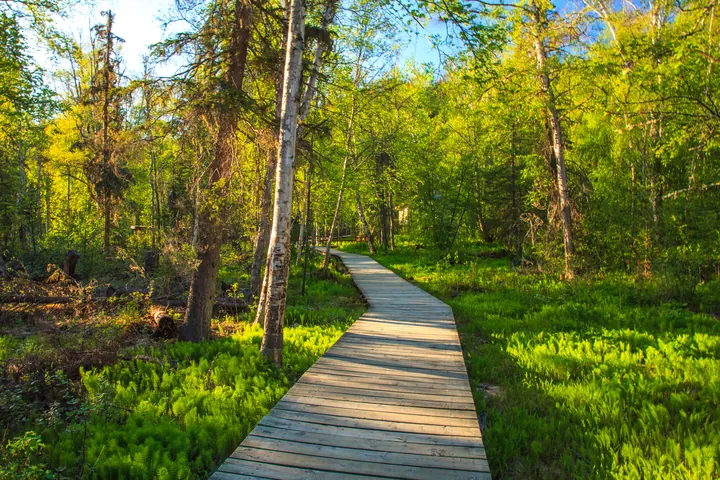
Pools at 42 to 52°C in a boreal swamp, a boardwalk from the Alaska Highway. Open all year.
Muncho Lake
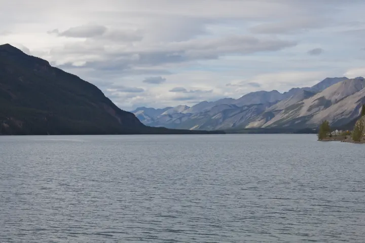
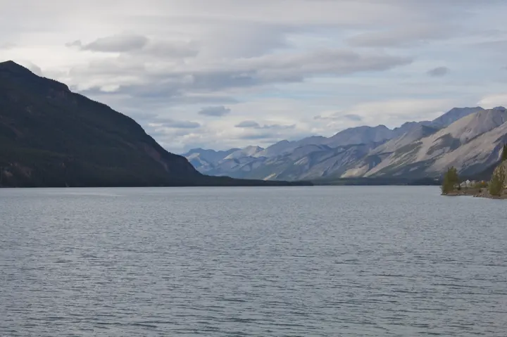
Jade green from rock flour, 12 km long, right beside the Alaska Highway.
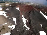
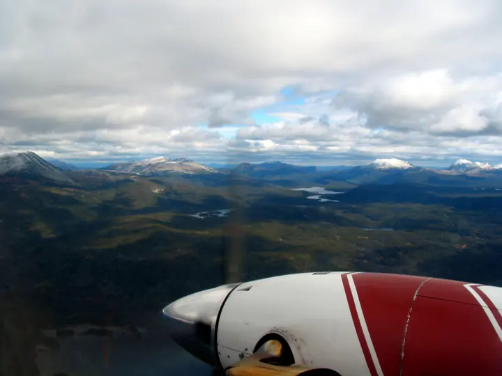
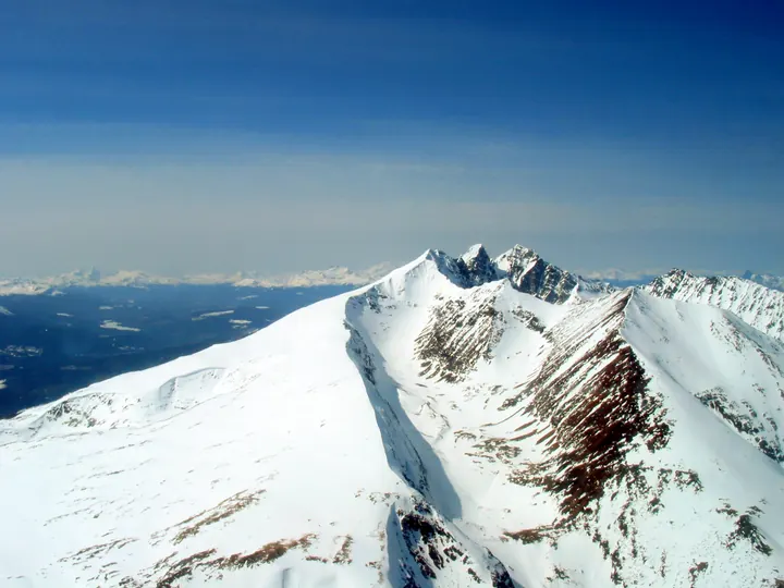
Mount Edziza
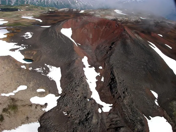
A shield volcano with cinder cones in red and black around its flanks. No road goes there; you walk or you fly.
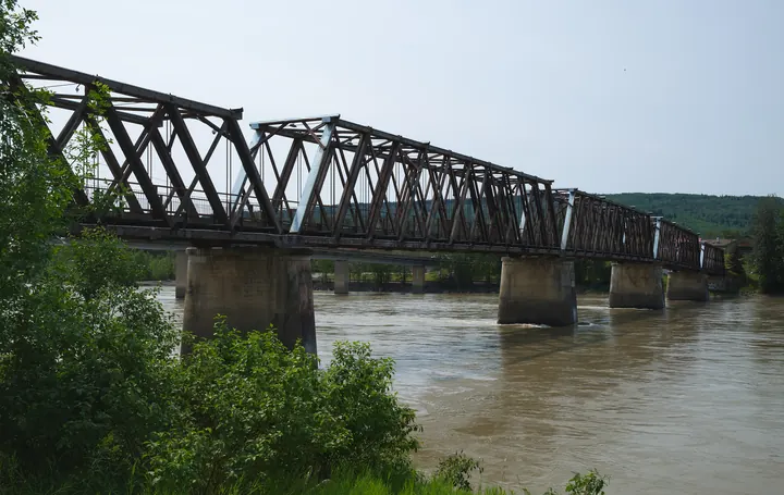
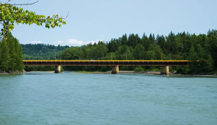
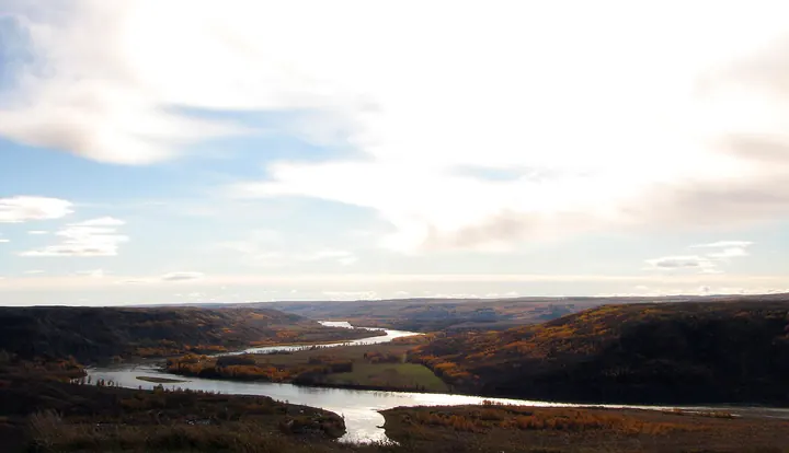
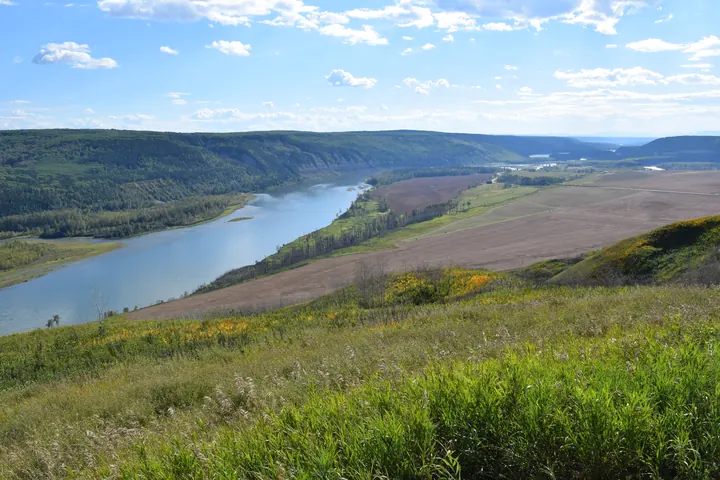
Peace River country
The Peace flows east out of the Rockies through farmland. The only part of BC on the prairie side of the mountains.
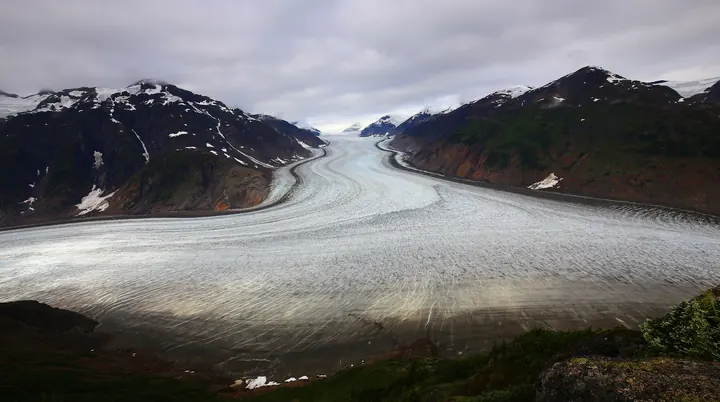
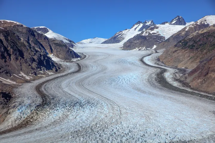
Salmon Glacier, Stewart
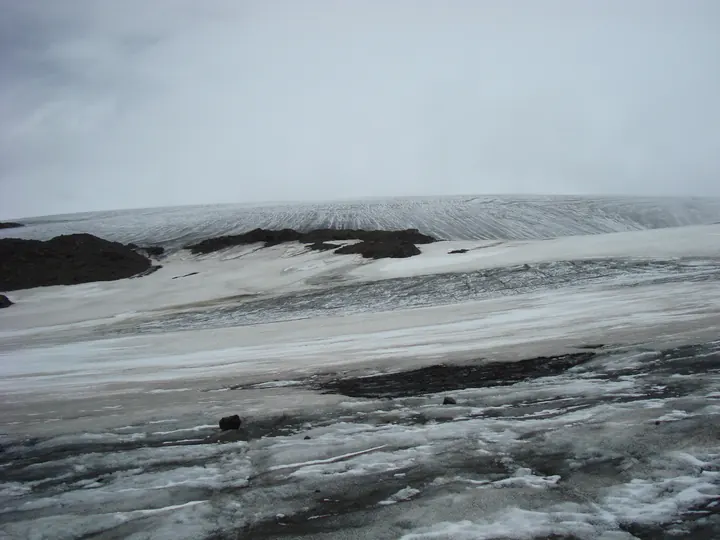
The fifth-largest glacier in Canada, from a gravel road above Stewart that crosses into Alaska and back.
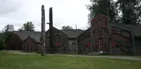
'Ksan, Hazelton
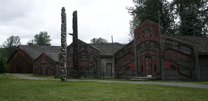
A rebuilt Gitxsan village at the meeting of the Skeena and the Bulkley, poles facing the river.
Nisga'a lava beds
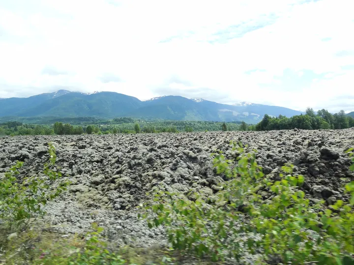
Lava from an eruption around 1700 that killed some 2,000 Nisga'a. Canada's youngest lava flow, now a memorial park.
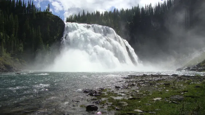
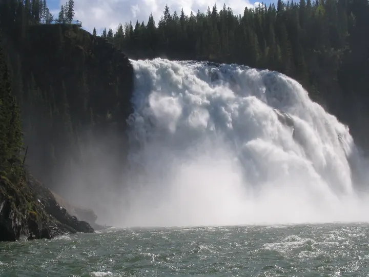
Kinuseo Falls, Tumbler Ridge
Sixty-eight metres, taller than Niagara, in Monkman Provincial Park. The town has dinosaur trackways and a UNESCO Global Geopark.
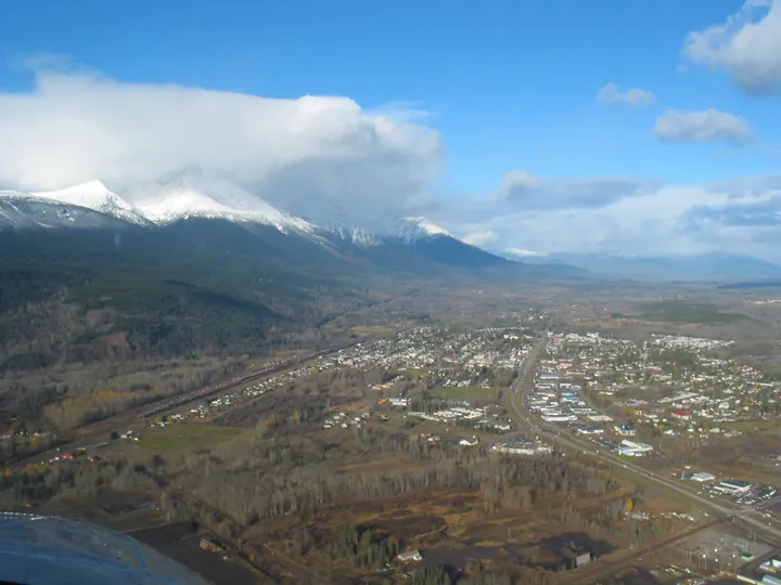
Smithers
Hudson Bay Mountain over a town that decided in the 1970s to look alpine. Fly fishing on the Bulkley.
Prince Rupert
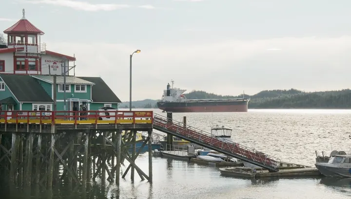
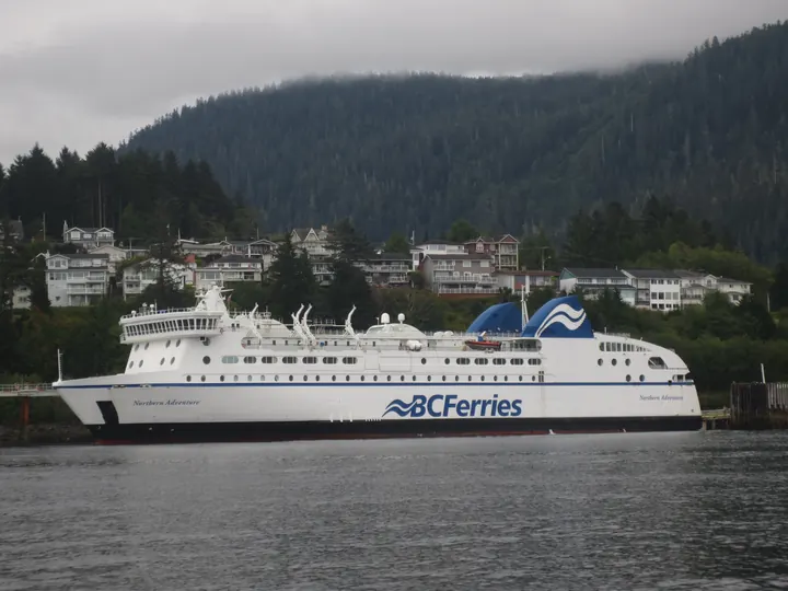
The wettest city in Canada and a deep ice-free harbour, 16 hours by ferry from Port Hardy.
Prince George
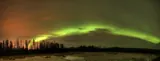
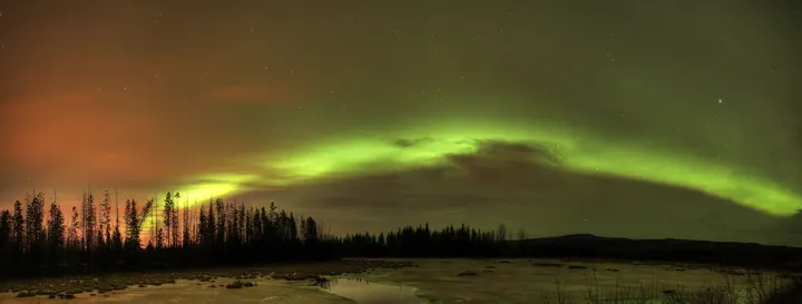
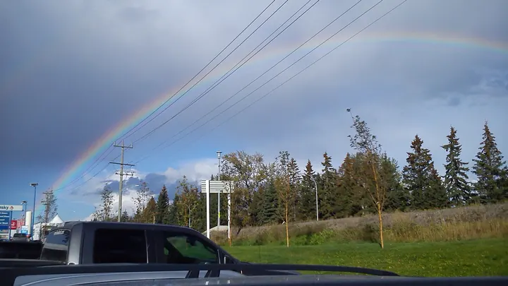
Northern lights over the city where the Nechako meets the Fraser, at the centre of the province.
Haida Gwaii
Islands 100 km off the coast, home of the Haida for at least 13,000 years. This is the beach on Graham Island's north shore.
Great Bear Rainforest
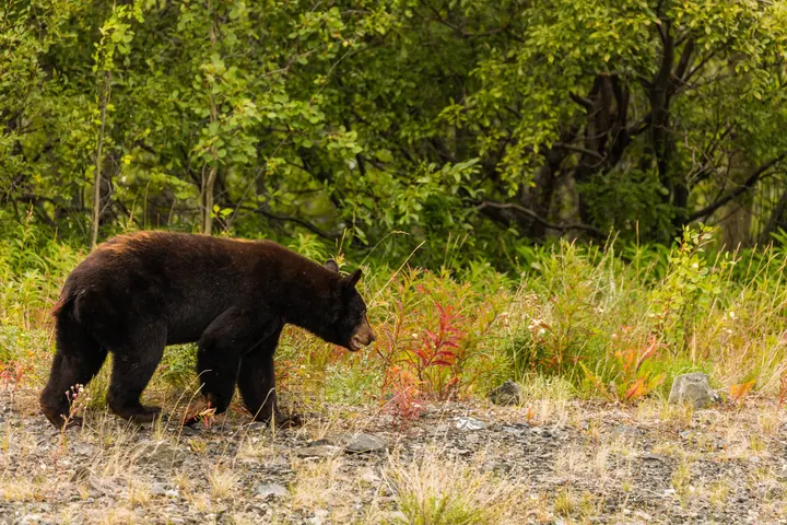
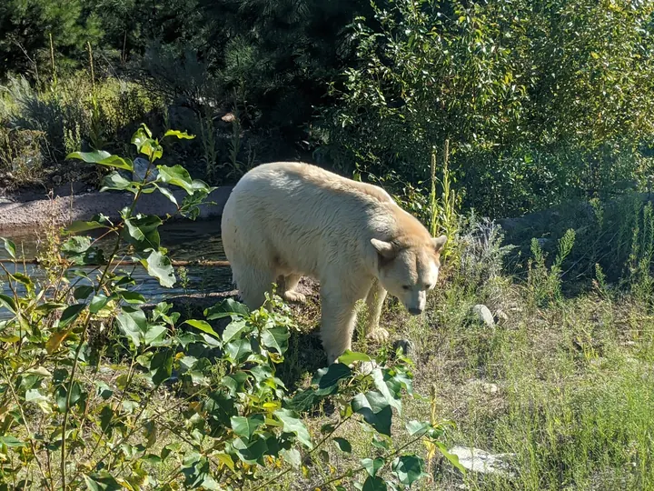
A white black bear, the Kermode or spirit bear, lives almost nowhere else. The rainforest covers 6.4 million hectares.
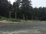
SGang Gwaay
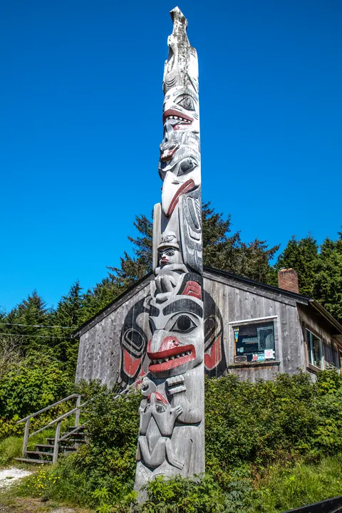
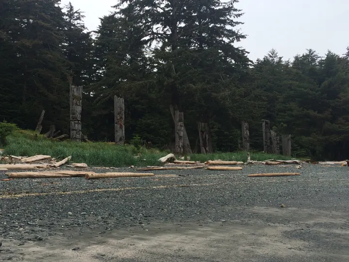
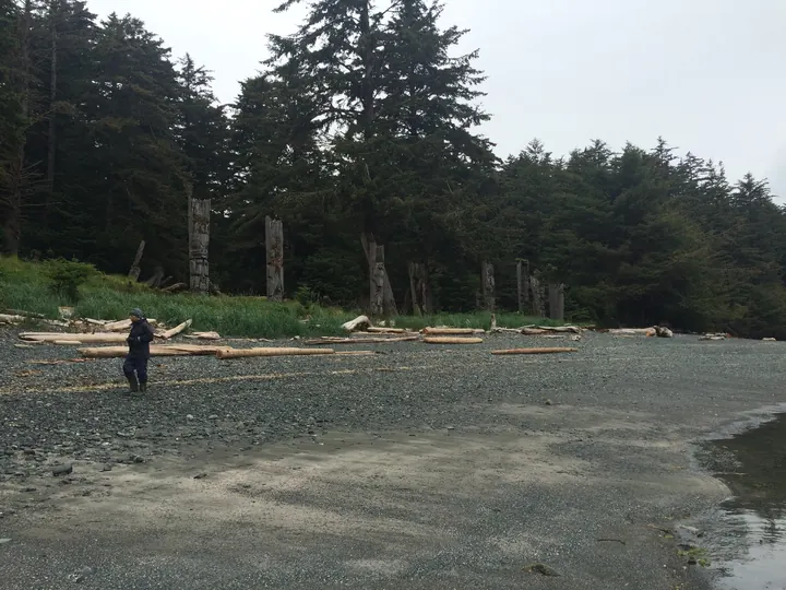
At the south end of Haida Gwaii, the poles of a Haida village left standing to return to the forest.



.jpg)


.jpg)


.jpg)


.jpg)

.jpg)
.jpg)

,_Stanley_Park,_Stanley_Park_Seawall_Path_--_2022_--_2056.jpg)


.jpg)

.jpeg)
.jpg)


.jpg)
.jpg)


.jpg)


.jpg)
.jpg)

.jpg)


_776.8.jpg)


.jpg)

.jpg)


,_Fort_Steele_Resort_--_2022_--_121557.jpg)


.jpg)

.jpg)
.jpg)
.jpg)
.jpg)
.jpg)


.jpg)
.jpg)
.jpg)


,_Parque_natural_provincial_Tatshenshini-Alsek,_Yuk%C3%B3n,_Canad%C3%A1,_2017-08-25,_DD_85.jpg)

.jpg)


.jpg)


.jpg)

.jpg)
.jpg)


_-_Graham_Island_-_a_few_hikes_around_the_N_end_of_Naikoon_Provincial_Park_-_Tow_Hill_trail_-_(20940178733).jpg)
_-_Graham_Island_-_museum_in_Masset_-_(21373013100).jpg)

.jpg)
.jpg)
About this map
A map of British Columbia built with care for the actual geography: every boundary is the province's own, every place sits at its true coordinates, and every photograph is credited. An independent project.
The page follows day and night in Vancouver. Use the switch above to see either mood, whenever you visit.
Two maps are on this page. The one that loads first is drawn here from the province's open data (tourism regions, lakes, coastline) and projected into BC Albers, the coordinate system the province's own surveyors use; it is also the picture that gets shared and the icon in your tab. The one you can fly around is Mapbox terrain with those same provincial boundaries laid over it, so the regions you see are the real ones, not an approximation.
Built by westcode.io, a two-person studio: Loic in Kelowna, Leif in Vancouver. We live here. This was made for the love of the place and the people in it: the ones who run the lodges and the ferries and the fruit stands, who plough the passes at four in the morning, and everyone who drives half a day to stand on a particular beach.
We design brands and build the websites, apps and tools behind them. If you look after a region, a town or a destination and want a map of your own, talk to us.
Sources
- Tourism regions
- Province of British Columbia,
ADM_TOURISM_REGIONS_SP, BC Data Catalogue. Open Government Licence, British Columbia. - Lakes
- Province of British Columbia, EAUBC Lakes, filtered to 50 km² and above, simplified to 250 m. Open Government Licence, British Columbia.
- Coastline, borders, rivers
- Natural Earth 1:10m. Public domain.
- Terrain and base map
- Mapbox, OpenStreetMap contributors.
- Photographs
- Creative Commons and public domain only, licences that permit commercial use and adaptation. Each is credited on its card and listed in full on the credits page.
- Projection
- The drawn map is NAD83 / BC Albers, EPSG:3005, the projection the province uses. The live map is Web Mercator, as Mapbox serves it.
- Place coordinates
- Set by hand and checked against OpenStreetMap. Each place is assigned to its region by testing its coordinates against the province's own boundary polygons, not by hand.